

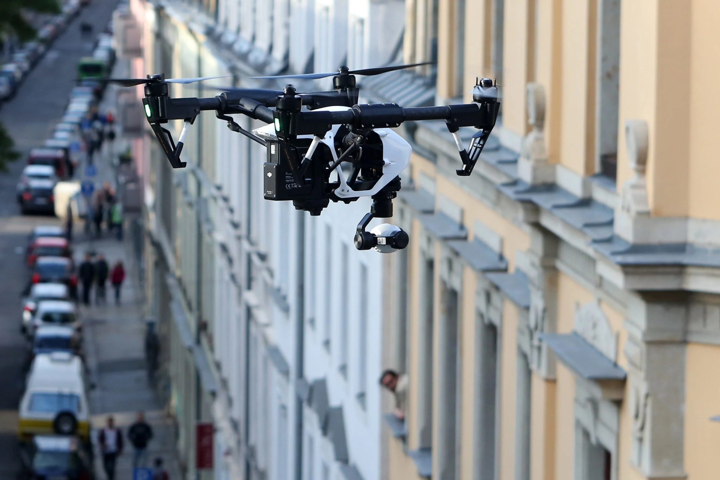
Why Urban Environments Make Drone Detection Difficult
Urban environments complicate drone detection through three compounding factors: physical obstructions from buildings that block line of sight and create signal shadow zones, dense radio frequency activity from Wi-Fi, cellular, and other consumer electronics that raises the noise floor, and shorter reaction windows because of proximity to people and infrastructure. Effective urban detection typically requires multiple sensor types working together rather than any single sensing method.

Passive vs. Active Drone Detection: What’s the Difference?
Passive drone detection listens for radio frequency emissions from a drone without transmitting any signal itself, making it covert and difficult to detect or jam. Active detection, such as radar, emits a signal and analyzes the return, which provides reliable detection of non-emitting drones but reveals the defending system's location and operating frequency. Most layered counter-UAS deployments use both methods together.
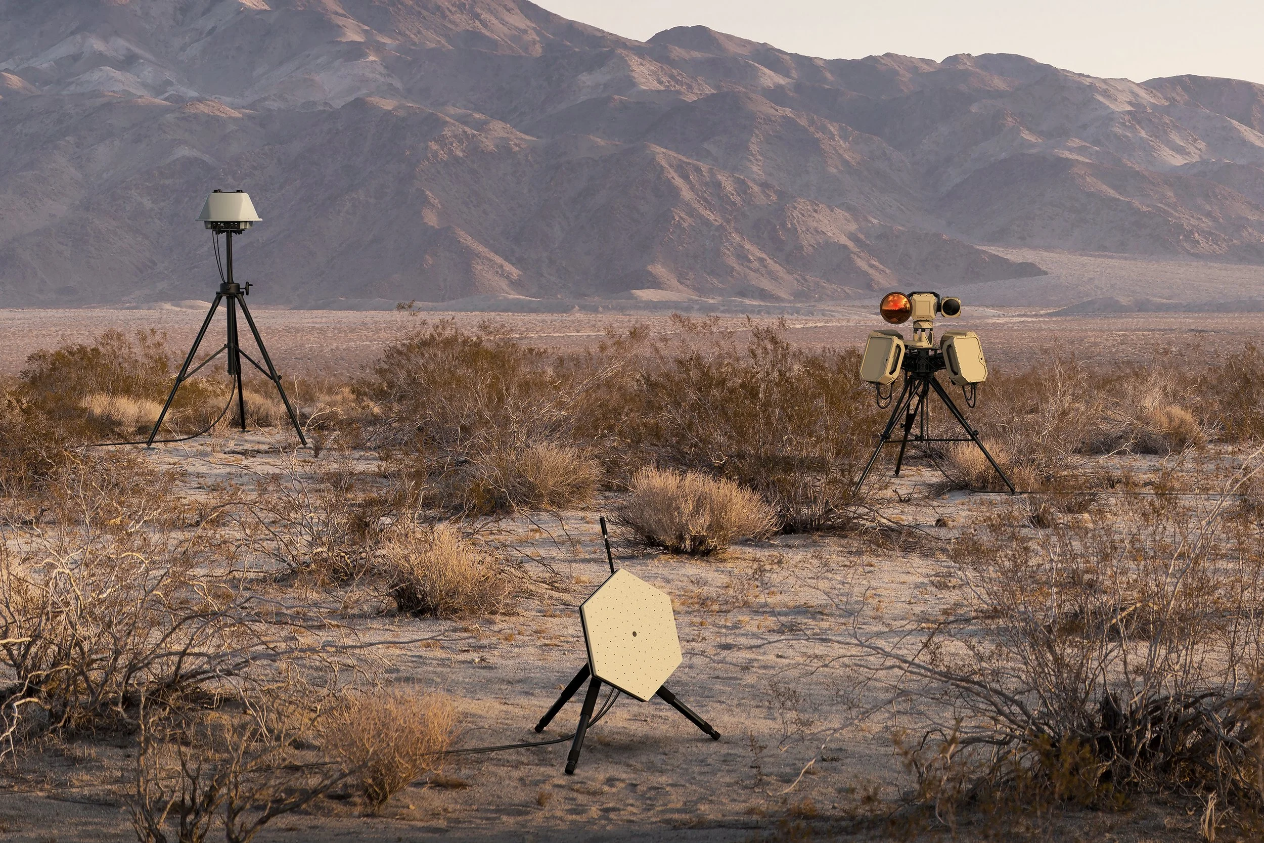
Common Limitations of Drone Detection Systems, and Why Layered Defense Closes the Gaps
Every drone detection method has limitations: RF detection cannot find drones with no radio link, radar struggles with small or slow targets and ground clutter, electro-optical and infrared sensors cannot cover a full horizon at once, and acoustic detection has limited range in noisy environments. Combining multiple sensor types through sensor fusion compensates for the blind spots of any single method.
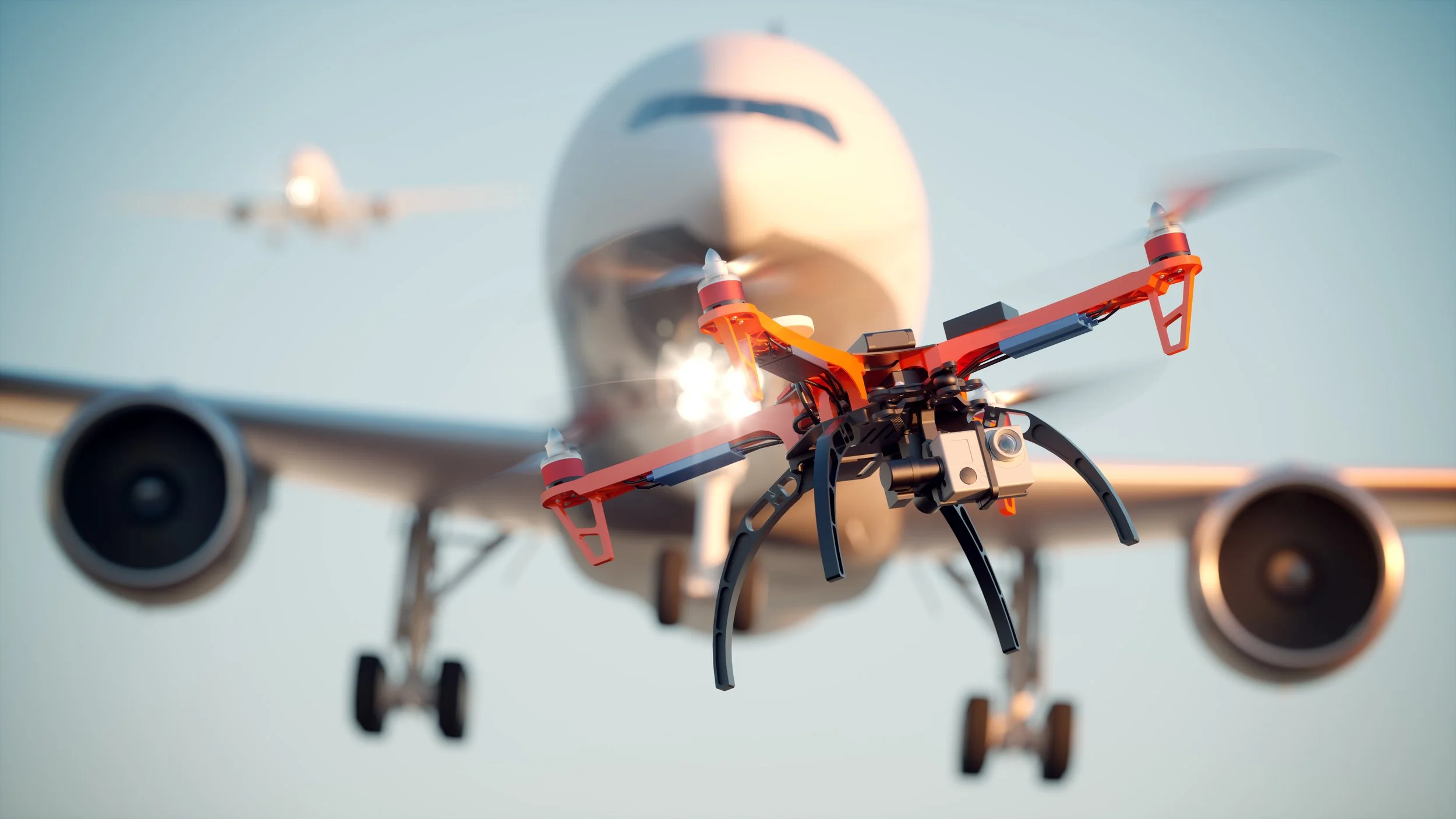
What Airport Drone Detection Systems Do, and How Security Teams Respond
Airports use drone detection systems, typically combining RF sensing, radar, and electro-optical or infrared confirmation, to identify unauthorized drone activity near runways and approach paths. Detection alone does not stop a drone; it gives air traffic and security teams the information needed to decide whether to delay operations, alert authorities, or initiate an approved mitigation response.

Understanding Line of Bearing Geolocation for Drone Detection
Line-of-bearing geolocation determines a drone's location by measuring the direction, or bearing, from which its radio frequency signal arrives at two or more separate sensors, then calculating the intersection point of those bearings. A single sensor can indicate direction but not distance; multiple sensors triangulating bearings together produce an estimated location.
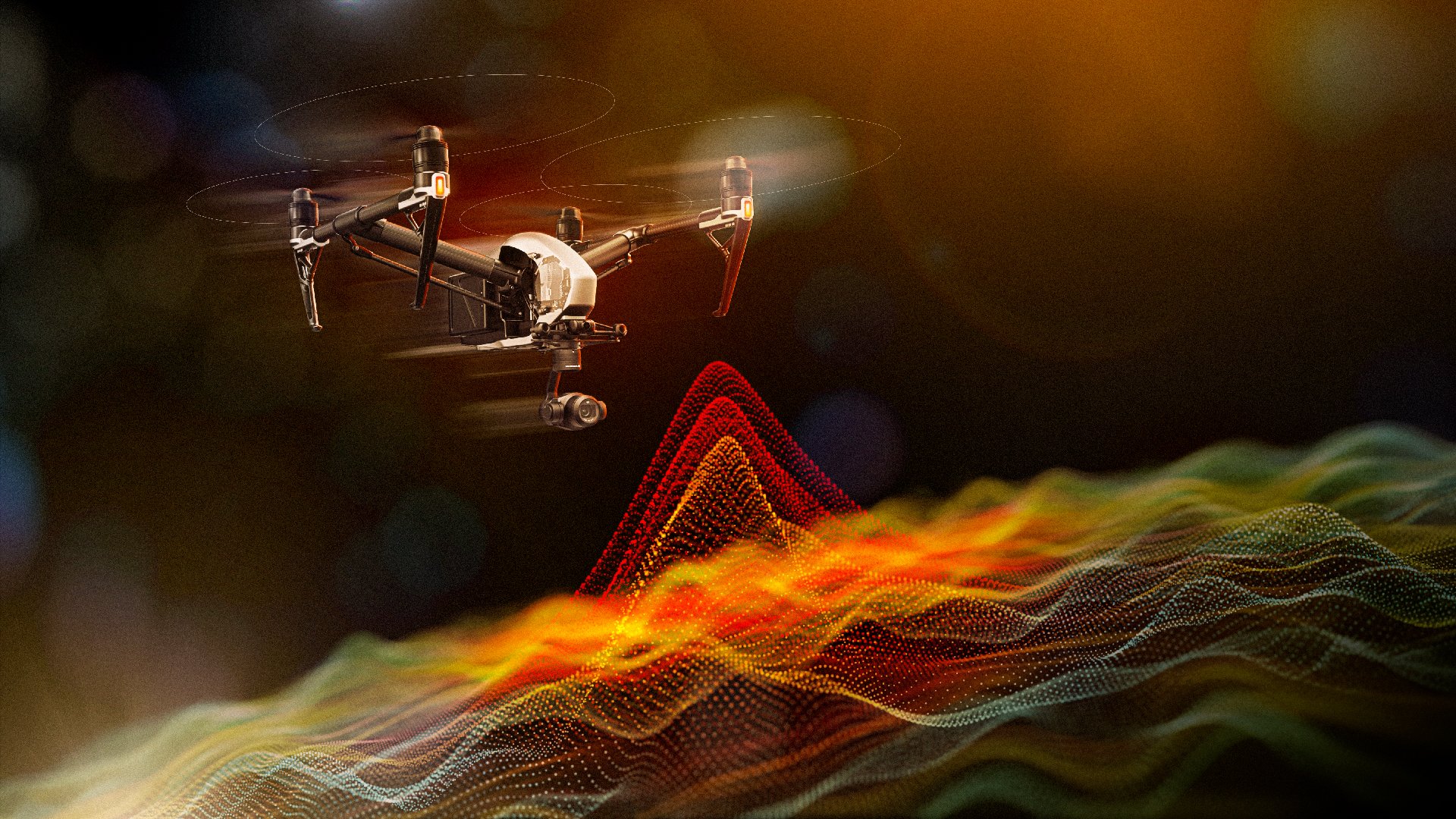
The Role of AI in RF Signal Classification for Counter-Drone Detection
AI-based RF signal classification analyzes the characteristics of a detected radio frequency signal, such as modulation pattern and frequency behavior, and compares them against a trained reference dataset to determine whether the signal originates from a drone and, in many cases, identify its make and model. This allows systems to distinguish drone signals from the Wi-Fi, cellular, and other RF activity present in most real-world environments.
How RF Congestion Complicates Drone Detection
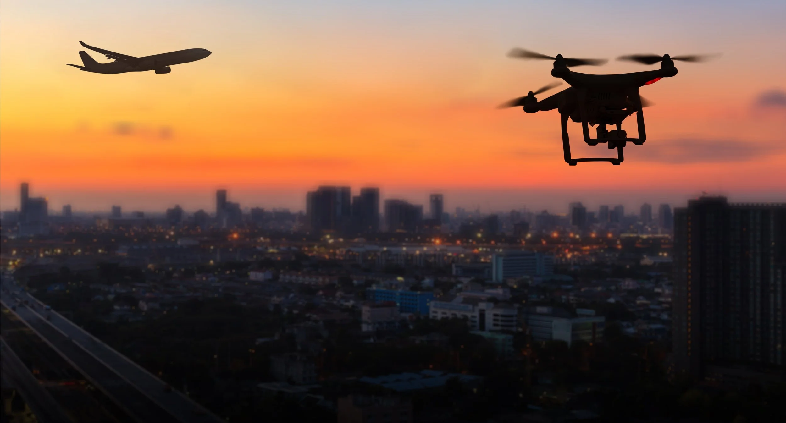
RF congestion occurs when the radio spectrum is crowded with signals from Wi-Fi networks, cellular infrastructure, IoT devices, and other consumer and commercial electronics, raising the background noise level that a detection system must filter through to identify a drone's signal. As drone adoption and wireless device density both increase, congestion has become a growing factor in detection system design rather than an edge case.

What Is RF Drone Detection, and How Does It Work?
RF drone detection works by intercepting radio frequency signals transmitted between a drone and its controller, then analyzing those signals to detect presence, classify the drone, and estimate its direction or location. Unlike radar or EO/IR, it does not require a direct line of sight or active emission from the defending system, which allows passive, continuous monitoring across a wide area.