

Understanding Line of Bearing Geolocation for Drone Detection
Line of bearing geolocation determines a drone's approximate location by measuring the direction, or bearing, from which its radio frequency signal arrives at two or more separate sensors, then calculating the intersection point of those bearings. A single sensor can indicate direction but not distance. Multiple sensors triangulating bearings together produce an estimated location.
Knowing a drone is present isn't the same as knowing where it is. Detection without location data gives a security team an alert that a UAS is operating in the general vicinity. RF geolocation improves on this information by providing more actionable intelligence such as position, track, and often the bearing of the operator.
What is Line of Bearing Geolocation?
In counter-UAS deployments, line of bearing (LoB) geolocation is the process of identifying the position of a drone using two or more RF sensors capable of deducing the angle of arrival (AoA) of a received signal. By using a directional antenna, an RF sensor can establish the path of a drone's signal in relation to the sensor (its bearing) though not the drone's distance along that line or its elevation.
This is where the distinction between omnidirectional and directional antennas matters. An omnidirectional antenna receives signals from a 360-degree radius simultaneously. It tells the operator that a drone is transmitting nearby, and it can classify that signal, but it can't inform the operator which direction the signal is originating from.
A directional antenna improves upon this by determining a defined angular sector, which means it can resolve the bearing to the signal source.
That bearing is the line of bearing - a straight line extending outward from the sensor in the direction the signal arrived from, along which the drone is located.
The drone direction finding technique builds on this foundation. One LoB narrows the drone's possible position to a line. Two or more bearing lines from sensors at different positions narrow it to an intersecting point. That intersection is the estimated location of the drone.
Why One Sensor Gives Direction but Not Location
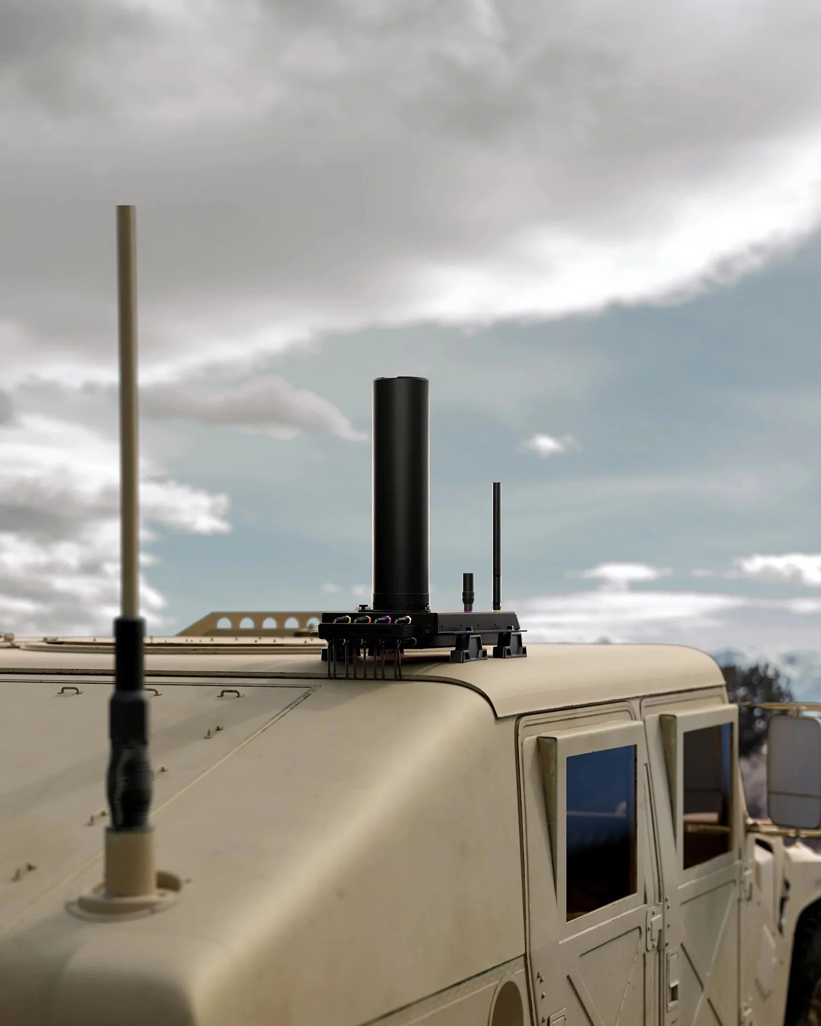
Relying on a single sensor can be sufficient, and even advantageous, in circumstances where mobility, speed, and basic detection is the priority, such as mobile, handheld or vehicle-mounted deployments. But it comes with a caveat. A single LoB indicates the direction of a drone but not how far along that line the drone actually is.
Picture a straight line extending from a sensor's position toward the horizon. The drone is somewhere on that line. It could be 200 meters away or two kilometers away. Without a second reference point, there's no way to resolve distance from direction alone, meaning the security team has a bearing, but not a location. That's useful for orienting a response or guiding the use of a hand-held drone-disruptor, but insufficient for cueing a radar track or making specific operational response decisions with confidence.
A single sensor also can't resolve ambiguity when multiple drones are operating simultaneously. Two drones at different distances on approximately the same bearing may appear as a single detection event. Multiple sensors with overlapping coverage resolve this ambiguity with each drone producing distinct intersection points.

How Multiple Sensors Triangulate a Position
The key to estimating a drone’s location using LoB is triangulation through multiple sensors that resolve independent bearings to a common signal source. When two or more sensors in fixed positions each detect the same drone signal and each resolves their angle of arrival independently, the command-and-control software can display the point where those bearing lines cross. That intersection is the estimated position of the drone.
In practice, a fixed-site counter-UAS deployment might use three or more sensors distributed across a perimeter. Each sensor detects the drone's RF signal and resolves a bearing. The software calculates the intersection of those bearings in real time and produces a dot-on-map location. As the drone moves, the bearings update continuously, and the calculated intersection tracks its trajectory.
The same principle applies to the operator. Where the drone's control link signal carries operator position data the LoB array resolves the bearing to the controller as well as the drone, and the intersection produces an operator location.
The position of the drone operator is intelligence that no radar or EO/IR system can generate.
The table below compares what each antenna configuration delivers.
Accuracy Factors: Sensor Spacing, Signal Strength, and Environment
Just because triangulation can be achieved through multiple sensors, and drone geolocation technology can be estimate a position, doesn’t mean this amounts to an unassailable pinpoint location. Location accuracy estimate depends on several compounding variables and understanding them is what allows counter-drone security to design deployments that perform reliably when it counts.
‘Sensor baseline’ is the foundation of accuracy and speaks to the distance between sensors in a LoB array. A wider baseline produces bearing lines that intersect at a more acute angle, which sharpens the estimated position. However, a narrow baseline produces nearly parallel bearing lines that intersect at an oblique angle, which widens the position uncertainty zone. In practice this means that fixed-site sensor placements need to be calculated relative to the most likely UAS approach corridors.
Signal strength directly affects the precision of the angle of arrival drone detection calculation. A strong, clean signal produces a tight bearing estimate. A weak signal, or one arriving via multipath reflections (signals bouncing off buildings or terrain), introduces angular error into the bearing calculation, which can throw off the accuracy of triangulation and produce a positional error. This is why urban environments make geolocation more difficult.
Sensor count also matters. Two sensors produce one intersection point. Three sensors produce three intersection points, which can be averaged to produce a more robust position estimate and can be used to flag instances where one sensor's bearing is significantly out of alignment with the others (a sign of multipath or interference). For high-value fixed-site deployments, a three-or-more sensor array is the standard and recommended architecture for optimal accuracy and dependability.
Terrain adds a further complication. RF signals behave differently over water, urban environments, canyons, dense foliage, and open ground. Deployment planning for LoB geolocation should account for the terrain of the site rather than assuming open-space performance.

Frequently Asked Questions About Line of Bearing Geolocation
Q: What does line of bearing mean in drone detection?
A: A line of bearing is the direction from which a sensor detects a drone's RF signal, represented as a line extending from the sensor toward the drone's likely position. It indicates direction but not distance, simply that the drone is located somewhere along that line, not at a specific point on it.
Q: Can one sensor determine a drone's exact location?
A: No. A single sensor can establish direction but not distance. At least two sensors at different positions are needed to triangulate the intersection point of their bearing lines and produce an estimated drone location.
Q: What affects the accuracy of line of bearing geolocation?
A: Accuracy depends on the distance between sensors, the strength and cleanliness of the received signal, terrain and RF interference in the environment, and the number of sensors in the array. Wider sensor spacing and more sensors generally produce tighter location estimates.
Deploying LoB Geolocation in Practice
Line-of-bearing geolocation is a technique, not a product. Its performance in any deployment is determined by how the sensor array is designed, positioned, and integrated with the wider detection stack. Getting that architecture right requires understanding the site-specific variables that affect accuracy before sensors go in the ground.
DroneShield's RF detection architecture applies LoB geolocation across fixed, vehicle-mounted, and portable configurations. Teams assessing detection architecture and geolocation requirements for a specific site can request mission-specific support: https://www.droneshield.com/connect-with-us