

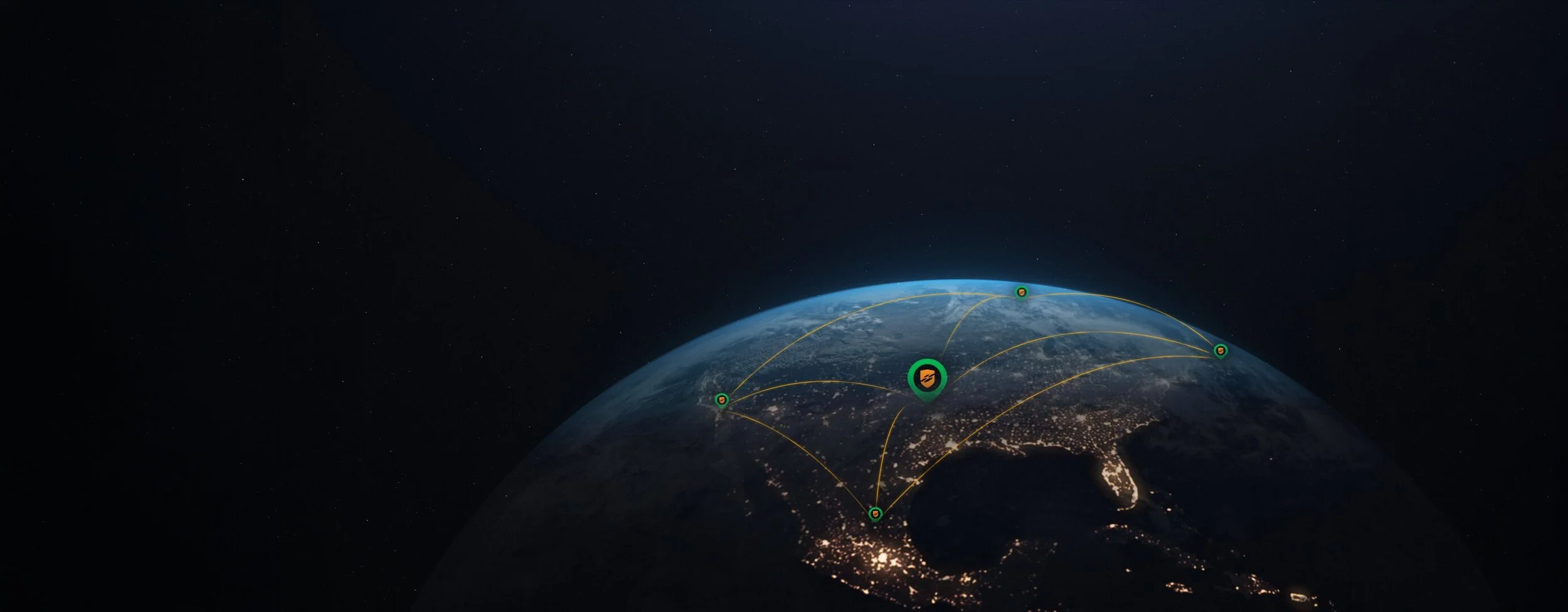
Understanding Line of Bearing Geolocation for Drone Detection
Line-of-bearing geolocation determines a drone's location by measuring the direction, or bearing, from which its radio frequency signal arrives at two or more separate sensors, then calculating the intersection point of those bearings. A single sensor can indicate direction but not distance; multiple sensors triangulating bearings together produce an estimated location.